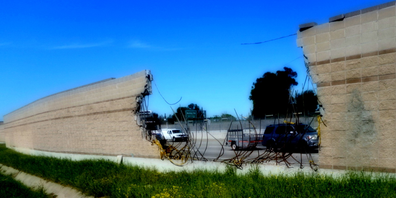
This was my last walk chosen by that "Geocaching Vicinity" system. It was a good system. It was a good way to pick walks. For example, it got me to visit Pittsburg, which I hadn't seen before. Cooling towers, windmills, cow pastures: Pittsburg has all these and more. So why stop using that system? Bay Area transit riders might recognize that "Pittsburg/Bay Point BART station" as a line terminal. Specifically, it's the terminal furthest from my apartment. (I might use future BART station openings as an excuse to dust off this walk-choosing technique.) I've taken this system as far as I can unless I'm willing to devote more of my "walk" time to sitting-while-riding-to-walking-places.
Maybe a system like the original "geocache vicinity" but without so much backtracking? Maybe a system that chooses a walk's starting location from the set of intercity transit stop locations within an hour of my apartment? Maybe… maybe I'll keep thinking it over.