BARTed from San Francisco back to Downtown Berkeley. I was a little weirded out at how yesterday's walk had gone: much walking; little pause for scenery or snacks. To start off this day in a more leisurely manner, I headed over to Bongo Burger for the two-egg breakfast.
The evening before, I'd already chosen my next destination from the set: Campanile▼, Freight and Salvage▼, Cafe Colucci. A stroll through UCB campus sounded nice, so I'd chosen the Campanile.

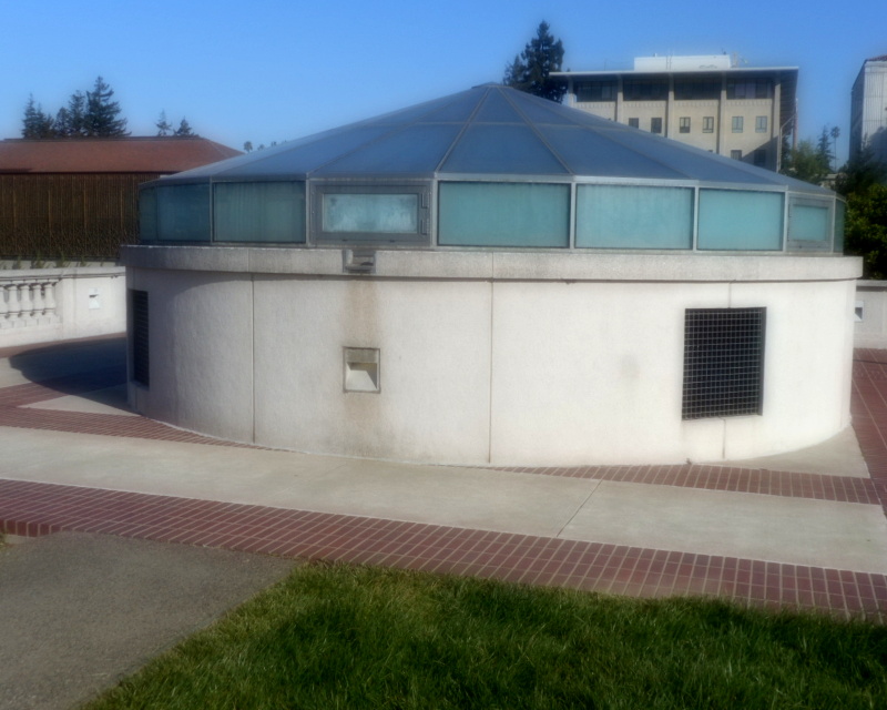
It was still early enough in the morning that the Campanile was closed; I could stand in its plaza but not ride to the top. But that was fine.
My next set of destination choices was: Golden Gate Fields (not open that day), Playland-not-at-the-Beach (not open that day)▼▼, El Autlense Taco Truck. Given a choice of three not-open places, I chose the one by the bay.
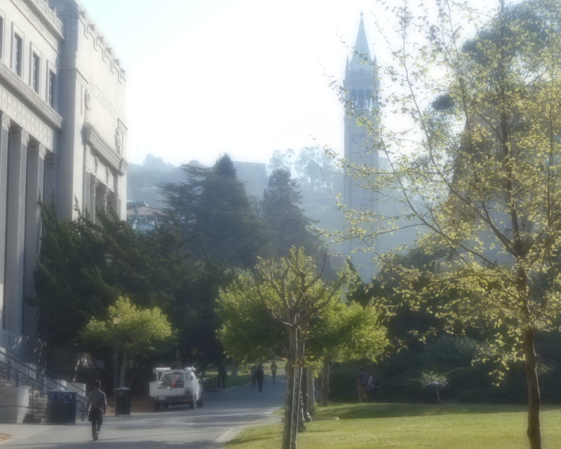
I strolled through UCB campus. Past the lightwell over Doe Stacks, for a long time my main source of reading material. Past Moffett library, where the King Arthur BANG ended, past the covered throughway where I'd kept a Zombie Chess puzzle out of the rain in another BANG.
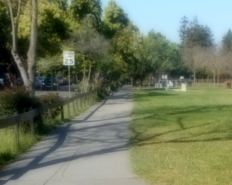
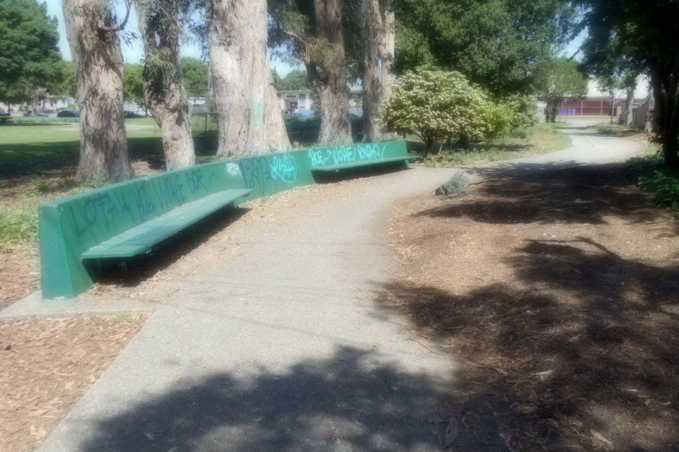
And then I was off campus, heading along Hearst Avenue to reach Ohlone Park and from there North Berkeley BART and from there the Ohlone Greenway. I'd lived in more than one place around here. And I'd been around enough times since then that I wasn't tempted to go off-course just to sightsee. There was plenty to see along my route: parks, gardens, art, shops.
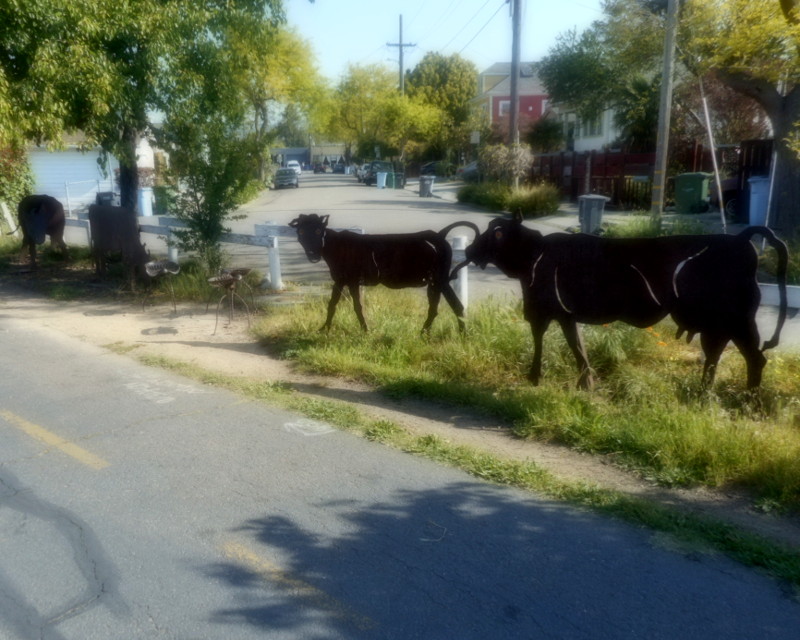

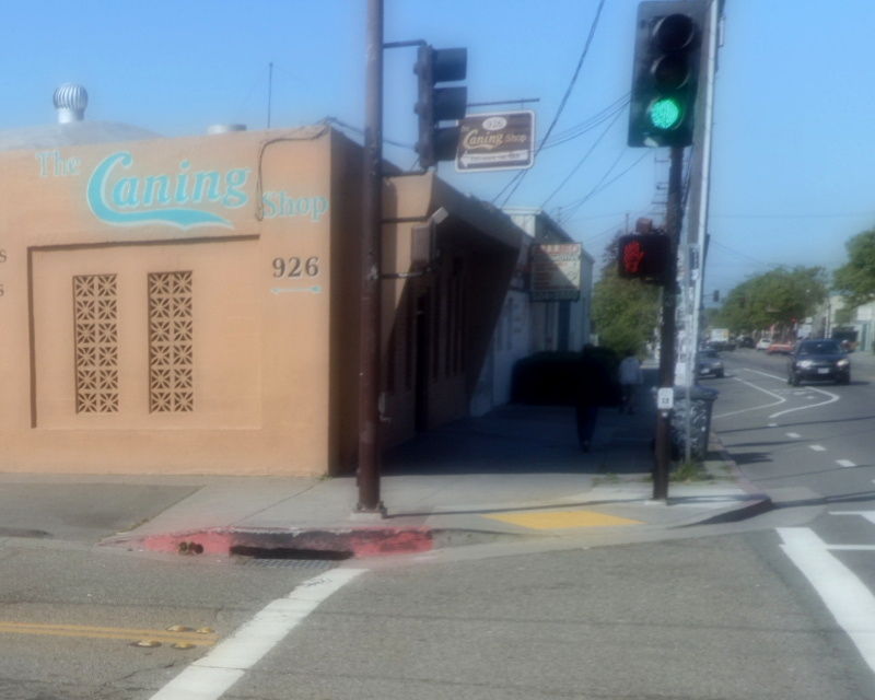
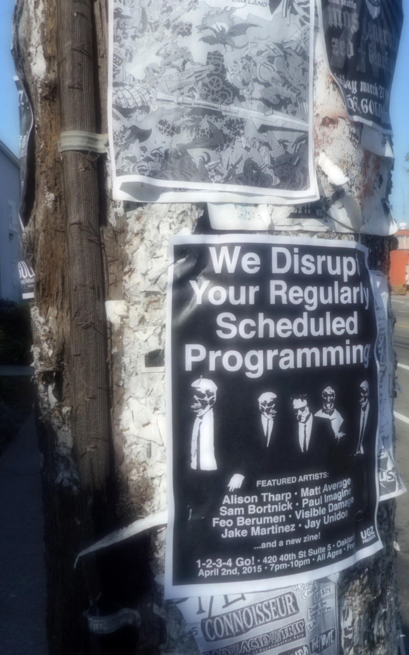
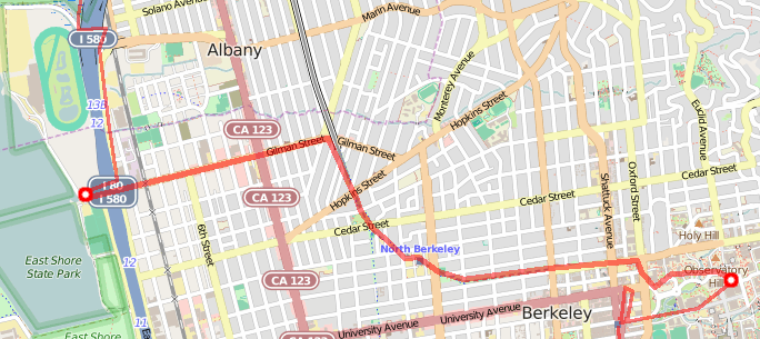
Greenway to Gilman, getting out of the parts of Berkeley that I knew. Turned at the base of the hill where my aunt lived, down Gilman past 924 Gilman and its flyers, under the freeway to the back of Golden Gate Fields.
The next set of destination choices was: Playland-not-at-the-Beach▼ (still not open that day), El Cerrito Plaza (shopping centers were a last resort), or Point Isabel.

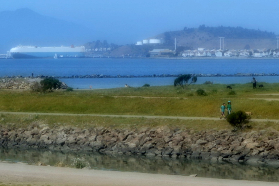
I headed inland to get around Golden Gate Fields, took the strange Buchanan bike path connector to get from Eastshore to the other side of Golden Gate Fields, then walked the bay trail to Point Isabel, trying not to get too distracted by the highway traffic noise.
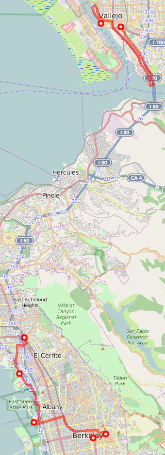
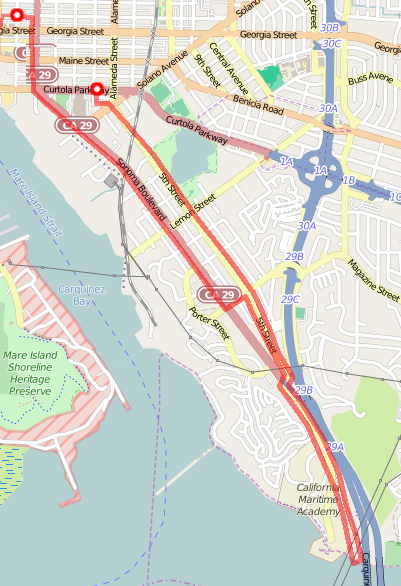
Here, complications set in. I was pretty sure, from some Google Streetview scouting the evening before, that I didn't want to walk from Rodeo to Crockett—it looked like the only way between them was San Pablo Ave, a section of road with no sidewalk, no bike lane, not much shoulder…just bad news all the way. I looked at Nancy Groschwitz's Bay Trail map: it didn't know of a way to walk this section of bay, just had a dotted line along San Pablo Ave indicating "we plan to have something walkable here someday but who knows?" Google Maps knew a way to traverse that section of road by public transit: by hopping on the SolTrans (Solano Transit) 80 line at El Cerrito and getting off in Vallejo. This didn't just skip the dangerous-looking section of road, though; it skipped plenty more.
So maybe the plan was to walk to Rodeo, catch a cab to Crockett? Or maybe walk to Rodeo, catch a cab to El Cerrito, then catch the bus? (That was silly; the cab ride to El Cerrito was longer than the cab ride to Crocket. But I didn't know that at the time.) Or maybe catch the bus and go ahead and skip some stuff; I'd peeked at my "navigation choices" for the places ahead of me, and they didn't all look interesting. E.g., In El Sobrante, I was probably going to end up visiting a BevMo beverage store. I don't know if it said more about El Sobrante or about Foursquare users, but apparently one of the most interesting things they could find in the area was a BevMo.
My meta-plan was: Go to the El Cerrito Del Norte BART station. This was the endpoint for the SolTrans 80 line. This was also a hub of other bus lines: I knew there was a bus to Novato from there. Maybe I could find out about other buses, buses that Google Maps didn't know about. I knew it didn't know about all of them; I could remember the bad times trying to navigate the peninsula before Google Maps knew about SamTrans.
![]()
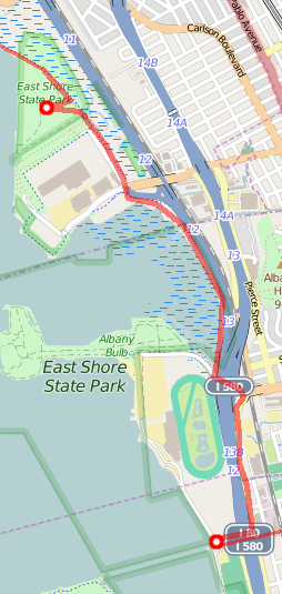
So I let Google Maps route me to the El Cerrito Del Norte BART Station. I headed back inland, along Ells path in Richmond, past some houses to El Cerrito, across San Pablo Ave (not the sidewalk-less, bike lane-less, shoulder-less section), to the BART station.
I started walking around, looking at signs, when I saw a SolTrans 80 bus was boarding right then. All meta-plans of sitting to make careful plans went out the meta-window. I boarded the bus, rode to Vallejo. I skipped Richmond, Pinole, El Sobrante, Rodeo, Crockett.
As I'd made my way through the bus area under El Cerrito Del Norte, I'd noticed signs for a bus system called WestCAT. Later, back home, I'd figure it out: WestCAT serves that area between AC Transit and SolTrans. Google Maps doesn't know about WestCAT yet. WestCAT could have bused me from Rodeo to Crockett. So… someday I'll do that part of the walk, visit the El Sobrante BevMo or whatever.
But this time, I rode to Vallejo.
Having crossed the Carquinez Bridge to Vallejo, the driver drove through town a bit. She stopped and opened the doors. I hopped up to get out. Then she closed the doors. I asked, "Oh, could I get out please?" She said she'd only opened the doors so she could check for oncoming trains safely. But she was a sweetie and let me out (though not on the train tracks).
If I'd made it to Crockett (on the other side of that bridge), my goal would have been the Vista Point by the Dead Fish, where we picked up a Rubik's Cube puzzle in the World Henchmen Game. Maybe I could walk across the bridge to get there. And then walk across the bridge again to get back to Vallejo. First, I had to get to the bridge.
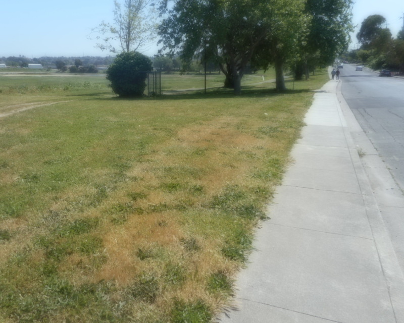
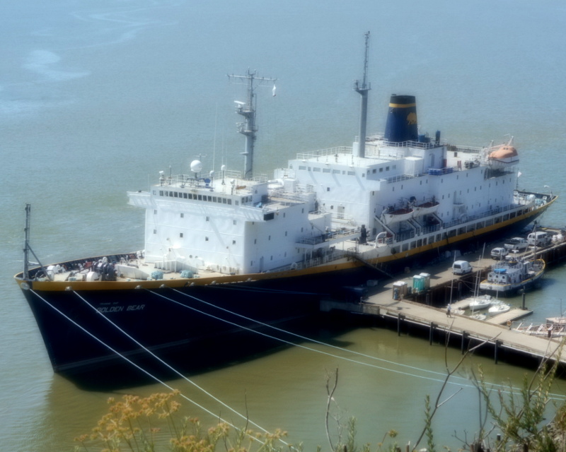
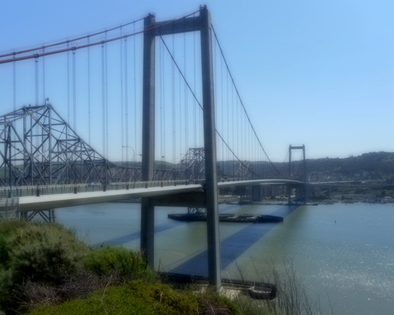
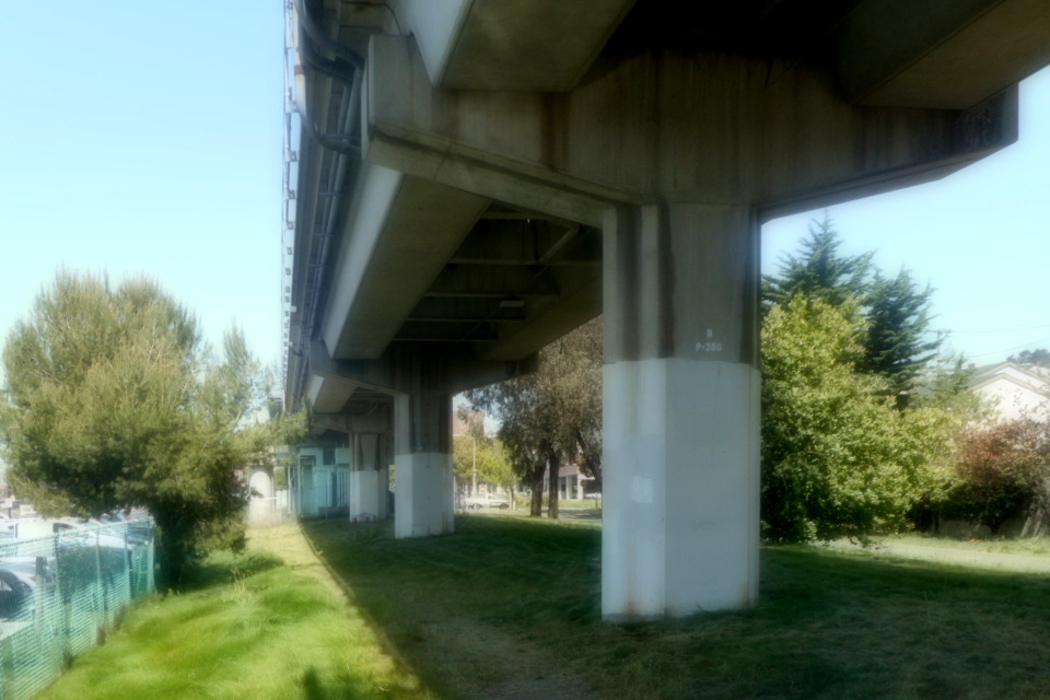
I walked south along Fifth Street, past houses and large parks. It was hot and still. Then I reached some more major roads. I walked into Vallejo's CSU Maritime Campus. I don't even read my own Alma Mater's announcements, but I follow the CSUM Campus News because it sometimes has neat boat stuff. But none of that was in evidence in the small corner of campus I crossed while reaching the bike path that went up next to Highway 80. Soon I was up at the vista point on the north side of the Al Zampa Memorial Bridge.
Highway 80 was loud. I'd drunk the last of my water in Vallejo's hot, still streets to get here. There was a water fountain at this vista point, but it was broken. I decided not to cross the bridge to the Dead Fish side, but just look around this side and turn around.
My choices for next destination were: City of Vallejo▼ (last resort) or the Empress Theater (not open, but I could see the exterior). So: The Empress Theater.
I backtracked to Fifth Street. And because the stillness of Fifth Street was starting to creep me out, I went over to Sonoma Boulevard, which had some traffic. Not as much traffic as Highway 80—that had been enervating. Sonoma Boulevard had just enough traffic to keep me awake.
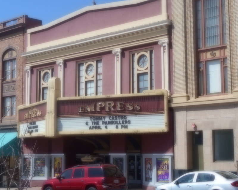
I went past businesses and houses. In downtown Vallejo, there were artists' studios and galleries. And suddenly, there was the Empress Theater.
My last choice of destinations: City of Vallejo (still a last resort), The Sardine Can (a restaurant), Six Flags Discovery Kingdom (an amusement park, $45 to get in gulp). A late lunch at the Sardine Can sounded good.
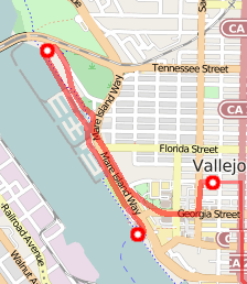
I walked down to the water, Carquinez Bay. Signs pointed out the Ferry Terminal. That's right—there was a ferry from Vallejo to San Francisco. I'd noted that when I was first thinking about walks around the bay, but had since forgotten. This was a good time to remember.
I walked past a marina. There were businesses, there were boats. There were views of Mare Island on the other side of the bay. Mare Island looked like a busy port: lots of boats in docks. I'd had the impression that Mare Island was just an abandoned Navy Base. The only thing I ever heard happening on Mare Island was folks playing paintball. Apparently, there was more going on. I should pay Mare Island a visit. But maybe not today. Today, I was ready to have a meal, hop on some bus or boat back home, and call this walk over.

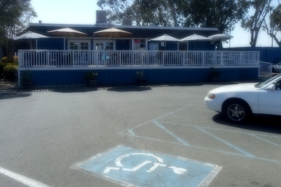
The Sardine Can had a nice cool patio for sitting and a veggie burger that was just what I needed. I'd done it! I'd walked most of the way around the San Francisco Bay! I'd had fun.
I backtracked one last time, made my way back to the Ferry Terminal. Then a 20 minute wait and I was on a fast boat back to San Francisco.


![]()